Vaslui County - Map of economic and demographic areas
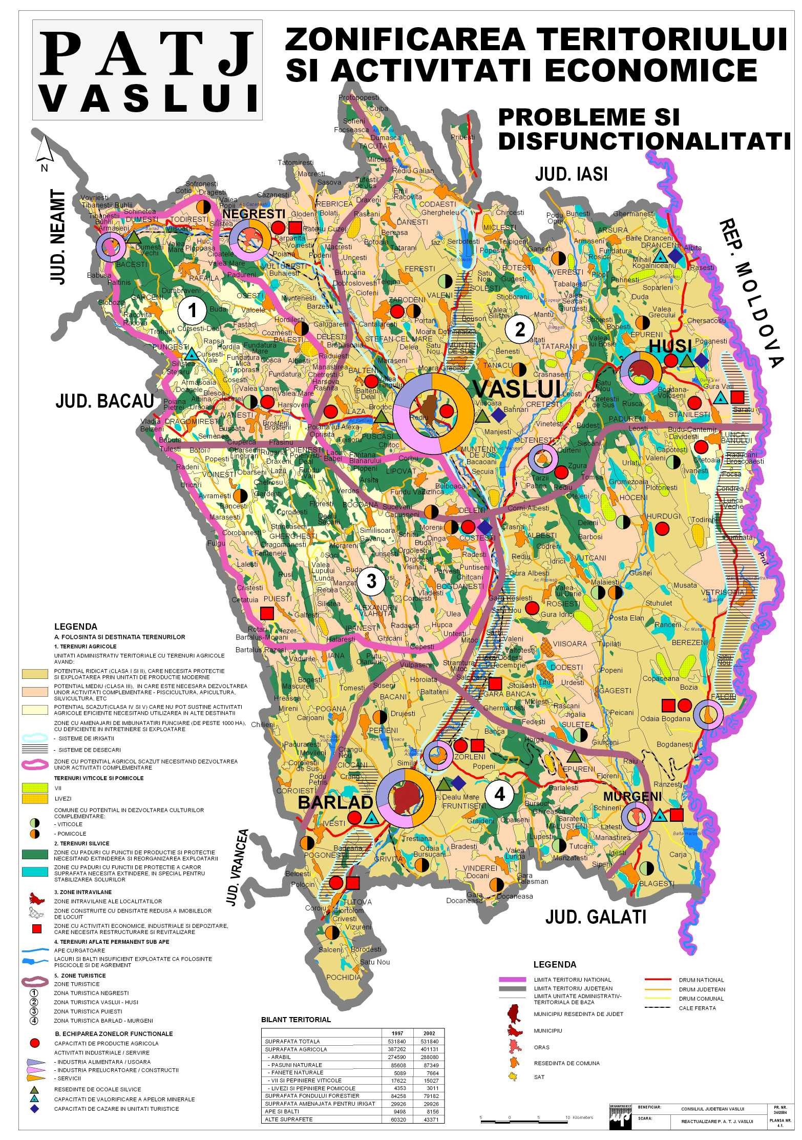
Aggregate map of the economic and demographic areas in Vaslui county The map includes the basic economic activities, industry and services, including tourism, in Vaslui
Aggregate map of the economic and demographic areas in Vaslui county The map includes the basic economic activities, industry and services, including tourism, in Vaslui
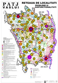
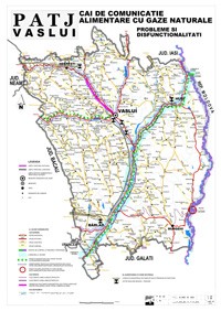
The map monitors mono-industrial areas, areas with migratory potential, the deficiency of social and commercial infrastructure, health risks. The map was drawn up at the request of the Vaslui County Council. Read More »Vaslui County - Map of economic and social dysfunctions

The communes, cities and municipalities of Vaslui county in an interactive online map, with the contact details for each town hall, address, area, the name of the mayor and the website, there... Read More »Administrative map of Vaslui county
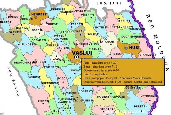
Fairs, markets and festivals in Vaslui County - commercial and tourist map of Vaslui County Click on the map to activate it, then hold the mouse... Read More »Vaslui County - commercial map - fairs, markets, festivals

Road map for the city of Iasi and its surroundings. Optimized for download and operation with mobile phones and tablets. The connecting roads between Iasi and:... Read More »Iasi and surroundings - Road map

Vaslui is a department in East Romania (Moldavia), near Iassy, at the border with the Moldavian Republic. It is one of the poorest areas in the European Union.

Interactive map of Vaslui Municipality, map of streets and neighborhoods. via Vaslui OnLine The main tourist attraction in Vaslui is the Royal Court The Royal Court in Vaslui... Read More »Vaslui city map